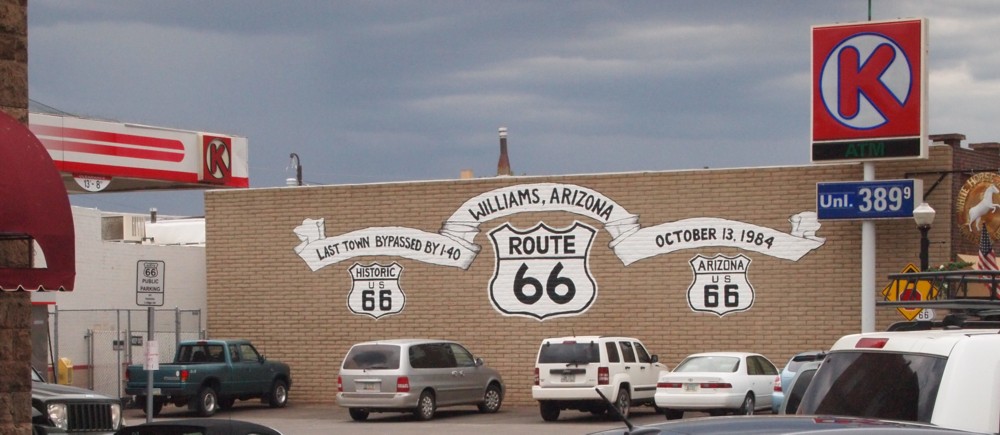
In 2007 Ann and I made a trip from Chicago to L.A. on old Route 66. The first three photos here were made on that trip.
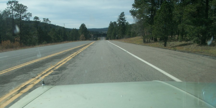
As we approached Williams from the east something attracted my attention to this railroad overpass. That overpass carries the Amtrak track that bypasses Williams to the north. The train drops passengers off at a concrete pad about five miles further into the woods where a shuttle from the hotel picks them up.

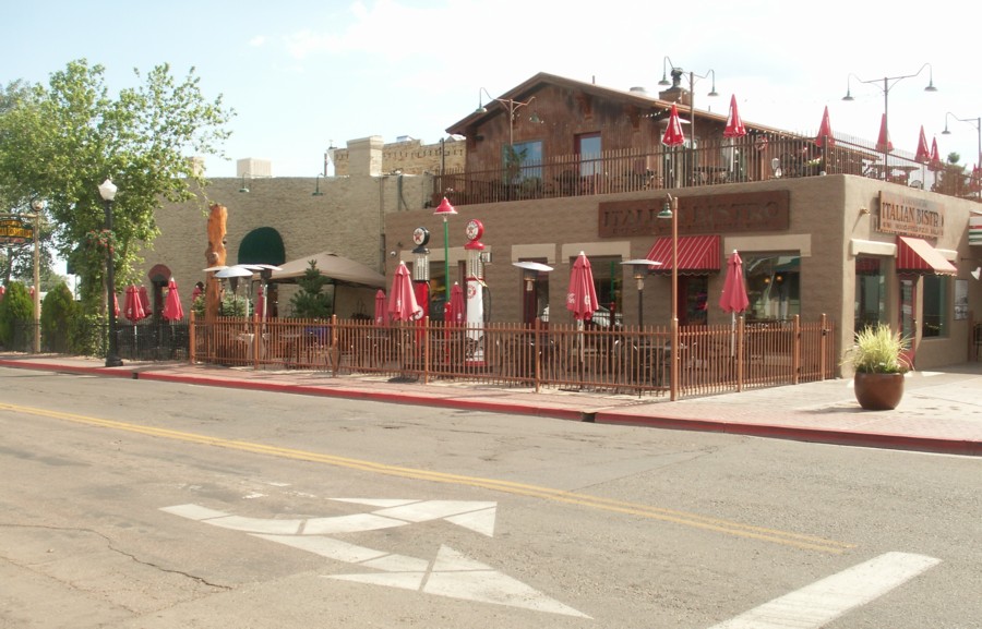
Twisters is a fifties-style soda fountain. A tour guide said that it is owned by the mayor's son. We didn't get to eat there on either trip.

As 66 enters Williams it is divided into westbound and eastbound one-way streets. The Red Garter faces is on the westbound street, and Twisters is on the eastbound. The Red Garter is now a 'Bed and Breakfast' located in the "beautifully restored 1897 Bordello." In the early 1900s, this Victorian Romanesque building had a brothel upstairs, a saloon downstairs, and an opium den in the back. (Their web page)
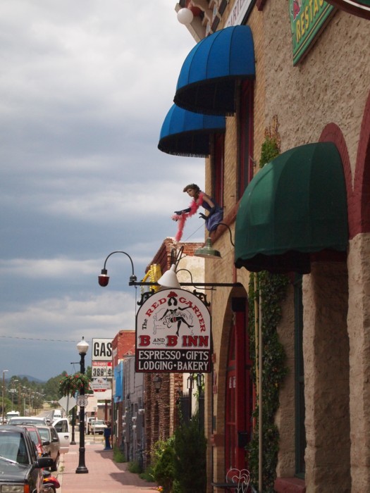
This is a current view of the Red Garter. The railroad overpass visible way down the road crosses the freight line that comes through Williams.

The first building on the street from the Grand Canyon Railroad depot is this other old depot that houses the Williams Visitor Center and is operated by the USDA Forest Service. Becky took a photo of Louis with Smokey Bear to go along with his old bear and his "Smokey the Bear" Little Golden Book. The visitor center is on West Railroad Avenue which is the westbound part of Old 66. The Red Garter is about a block east on the other side of Railroad Avenue.
Link to their page: Williams Visitor Center

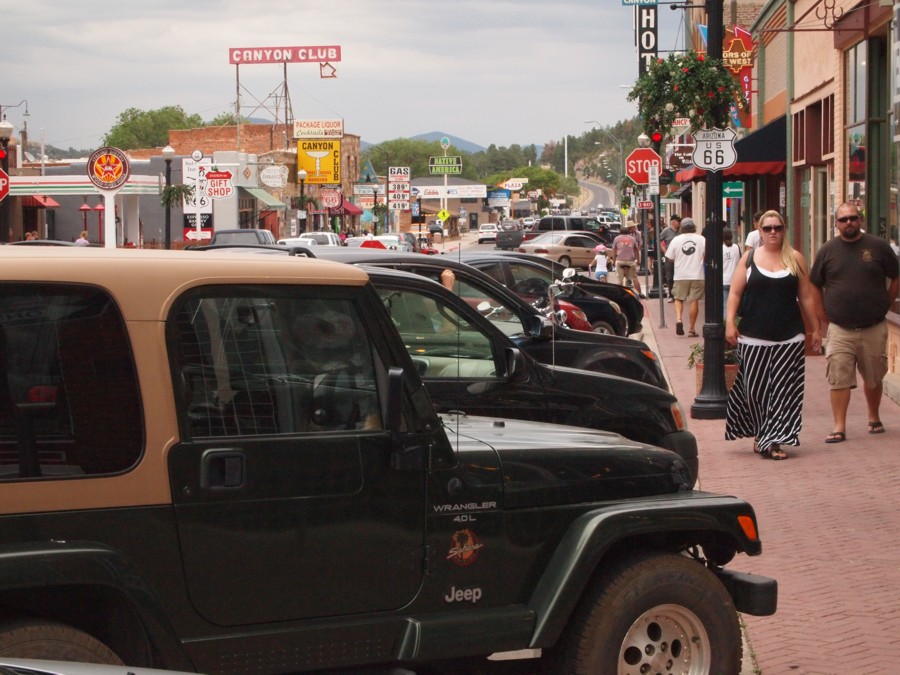
The heart of Williams is this intersection of Historic Route 66 Loop (Eastbound Business Loop I40) and 2nd Street. Second Street becomes N Grand Canyon Bld as it goes north to the I40 intersection. Railroad Avenue is also called Historic Route 66 Loop. It's the westbound part of BL I40.
Swinging a little to the left (north) of the corner on a later walk into town using a different camera.
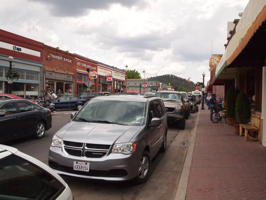
We turned west on Historic Route 66. A store owner told me that the 'loop' was named "Bill Williams" for a few years after Route 66 was decommissioned, but was changed back because of all the tourist interest in Route 66.
This is the view back to the east. The railroad overpass is visible in the distance.

Becky agreed to pose by the Elvis maniken.
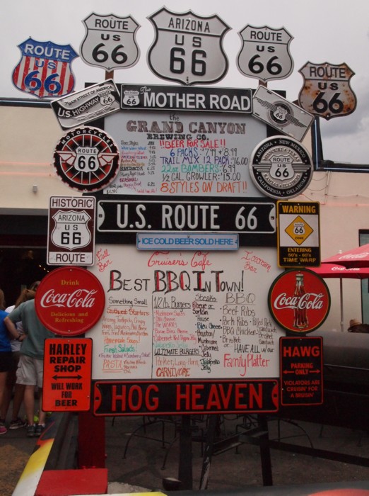
A Route 66 themed restaurant sign.
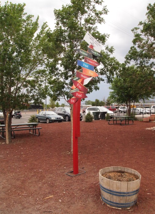
We didn't get the meaning of this bent sign back at the visitors center.
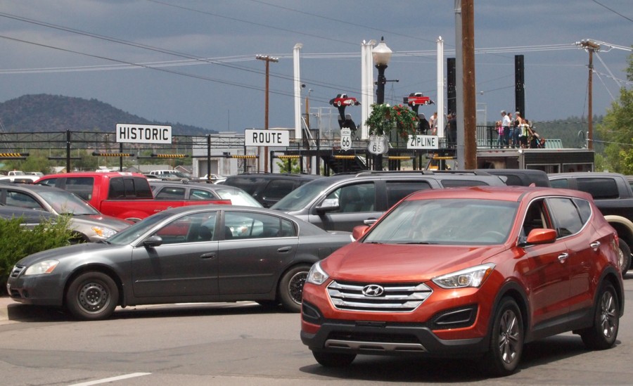
A 'zipline' ride has been installed by the tracks and across the street from the visitors center. The cables are above the parking lot behind the visitors center. The zipline is just there for the tourist season and then it's supposed to be moved.
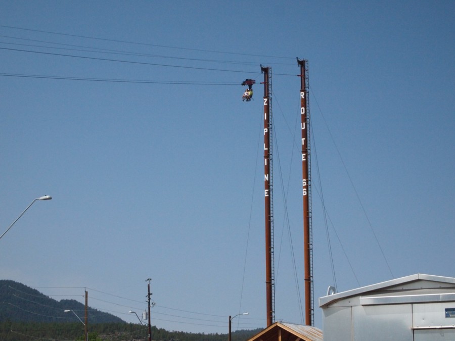
This is the high end of the zipline.
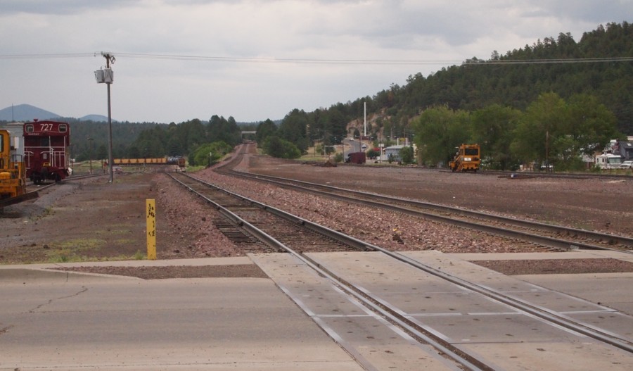
This is the view back to the east from the railroad crossing just north of town. The Grand Canyon Railroad track is the nearest and it curves left to the north. Fast freight trains use the next track continuing east with a slight curve to the right under the Amtrak overpass. Old Route 66 goes east and curves to the right and then back left to go under the Amtrak overpass over the road.