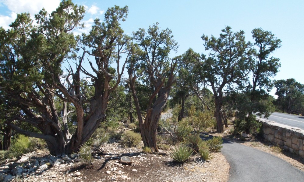
Louis checked the map and saw that it was only 1.1 mile back to Powell Point. He decided there would be time to walk along the rim trail and still get to the park headquarters for lunch. I decided to walk with him. Becky went with Ann and Frances on the shuttle. That was about 9:40 a.m.
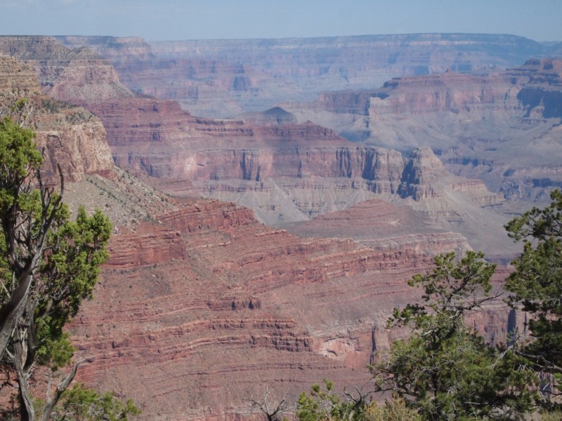
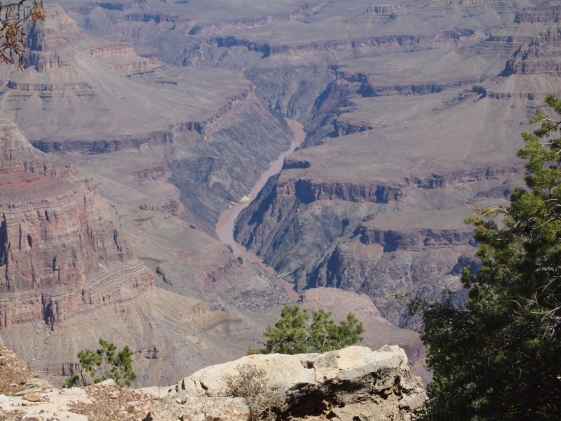
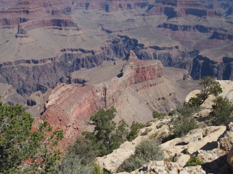
The rounded cone-shaped pike on the center right was an obvious feature of the landscape. The canyon continues west from this point for a hundred miles.
The Colorado River is visible to the right of the cone peak. The canyon is more than a mile deep, so the river rapids visible here may be a couple of miles from where I was standing. It's hard to visualize the size of things at such great distances.
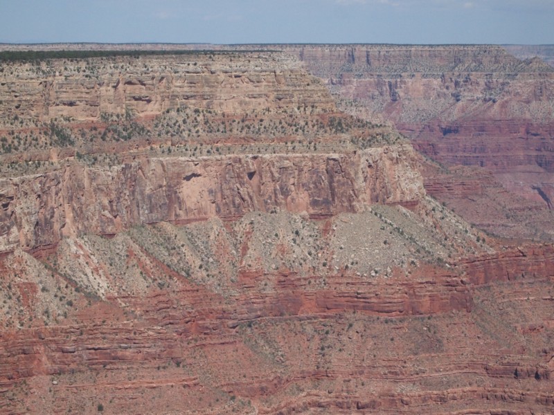
This feature is a sort of box canyon, but is shaped more like a horseshoe. What I at first thought was a central ridge running parallel to the two sides may actually be part of the far side.
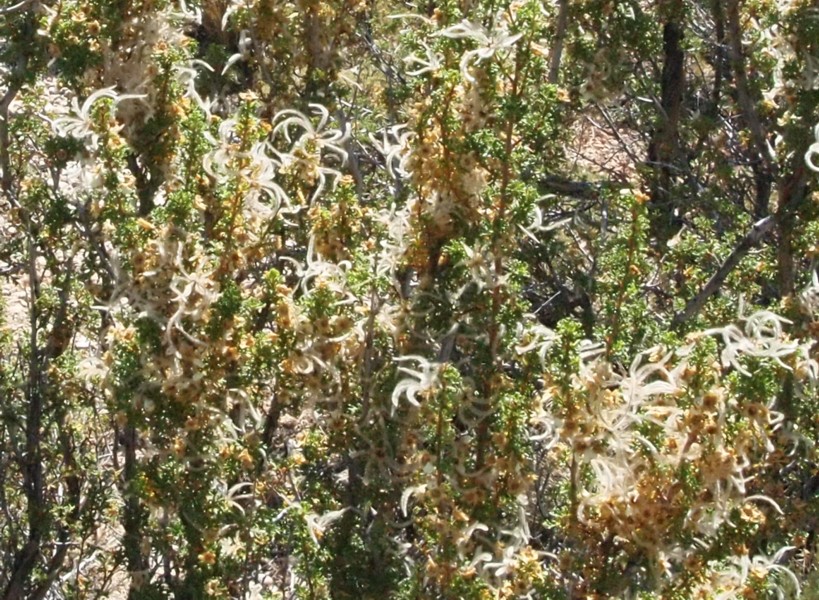
These blossoms were backlit by the sun which made them look like little pinwheels of light.
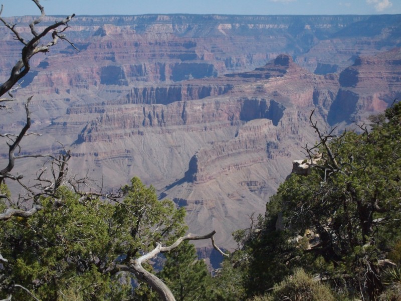
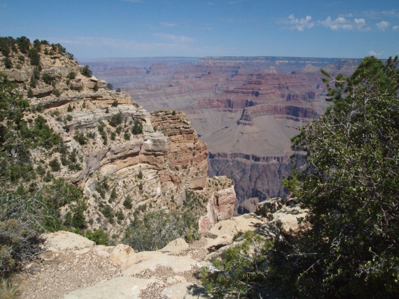
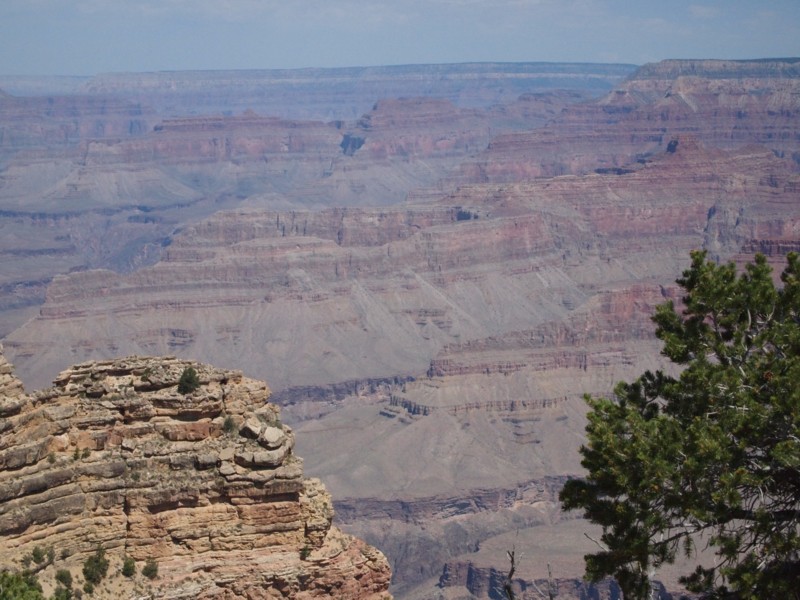
The canyon just goes on and on .
Looking back at Hermit's Rest - At about 10 minutes into our walk I looked back to try to see Hermit's Rest. At this file size you probably can't see much of the white speck that is Hermit's Rest in almost the exact center of the photo, but in the enlarged photo below, you can.
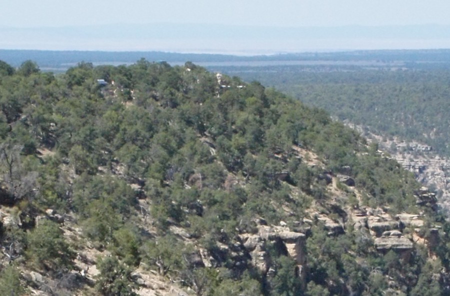
Telephoto view cropped to show almost full file size of Hermit's Rest area.
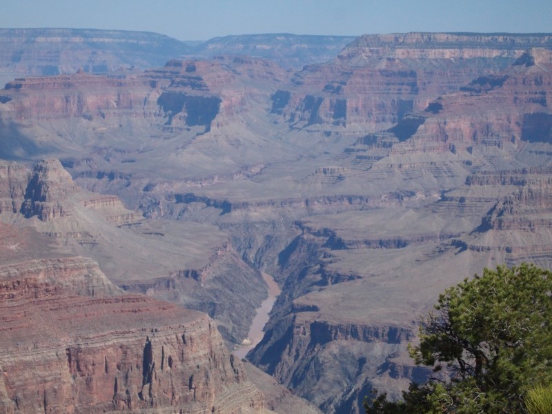
Another view of the Colorado River with the dome-topped conical peak at the upper left.
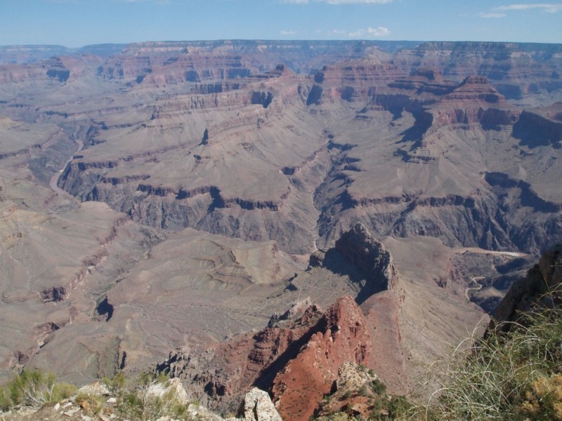
Another view of the 'box' or 'horseshoe' canyon with the river running across the middle of the scene. There is a distinctive ridge at the lower right center of the photo. Its shadowed side is visible from this perspective. The sunny side of that ridge appears in a later photograph made during our afternoon hike.
The crescent shaped mesa in the distance caught my attention. It makes a good landmark.
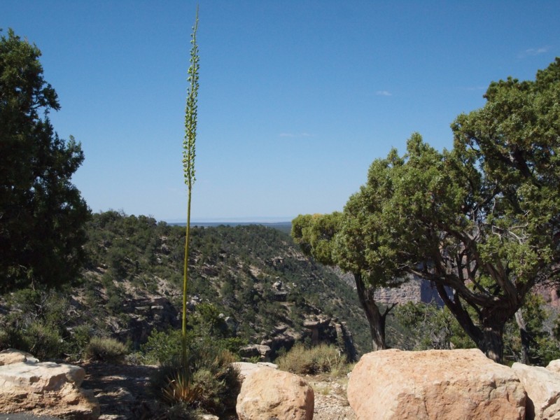
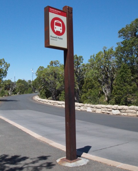
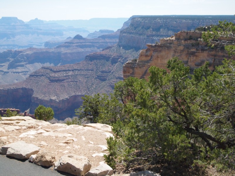
By 10:20 a.m. we were within view of Powell Point.
Looking along the trail toward Powell Point.
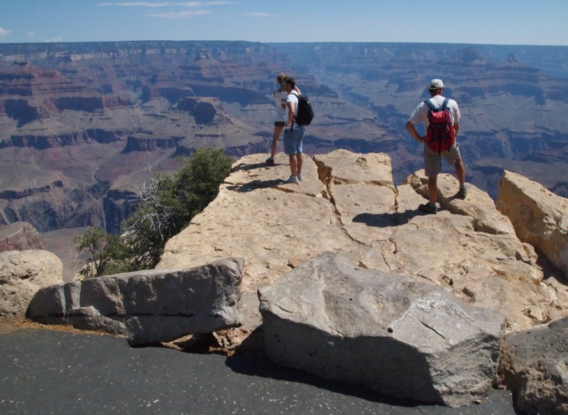
We got to Powell Point by 10:25. Becky was waiting for us at the shuttle stop. She told us that it was worth the walk out to the point and then caught the shuttle. We went on out to the point and caught the shuttle 15 minutes later.
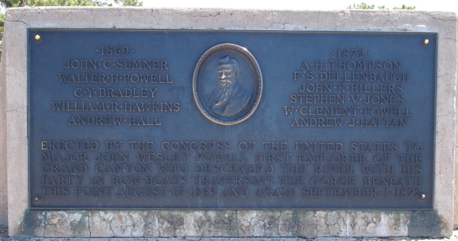
A plaque commemorating the passage of Powell and his crew below this point.
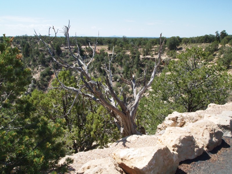
This is Powell Point.
This is the rugged terrain below and west of Powell Point with the crescent mesa in the background.
A telephoto view of the horseshoe mesa from Powell Point.
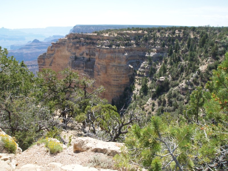
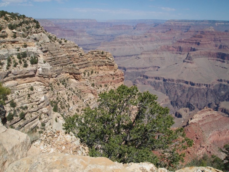
This is a view of the next observation point to the east of Powell Point.
This is the final view of the horseshoe and crescent mesas.