During lunch Louis said that we should take the shuttle back to the Abyss (which we had not stopped at on the way to Hermit's Rest) and hike back to Mohave Point where we had watched the sun set the previous evening. The distance wasn't specified on the map, but by comparing the marked distances with the map we estimated that it would be about a third of a mile. We had to board the train at 3:15, but it seemed we would have time to hike and be back by then,. Only later did we find that the map was not to scale and that our hike would be 1.1 mile.
We reached the observation point at about 1:00 p.m. The Abyss is the name for a cliff that drops a sheer 3,000 feet. A railing kept me from being able to actually see over the edge - actually a thread would have kept me from getting close to the edge. Remember that the canyon is roughly a mile deep so there would be another 2,000 feet from the bottom of the Abyss on down to the river.

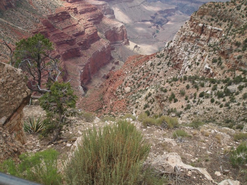
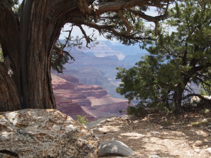
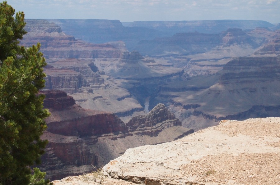
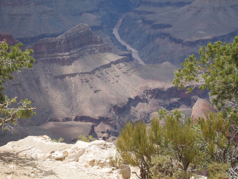
The view to the left, or west, is back toward Hermit's Rest and the rim trail we had hiked that morning. Some of the things we saw that morning are visible here, the river, of course, the ridge that was viewed on the shadowed side, and the dome-topped cone in the far distance.
This view is toward the eastern side of this area.
The ridge first seen during the morning hike is visible here from the east, or sunlit, side. The Colorado River is visible in the distance, and the domed cone shaped feature is farther along.
A wider view of the area.
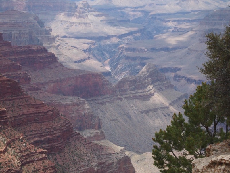
A telephoto view of the three features - the ridge, the river and the domed pinnacle.
The west side of the abyss.
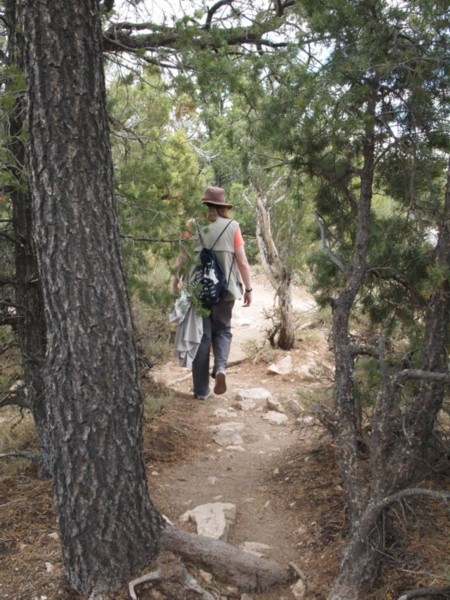
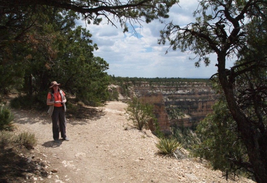
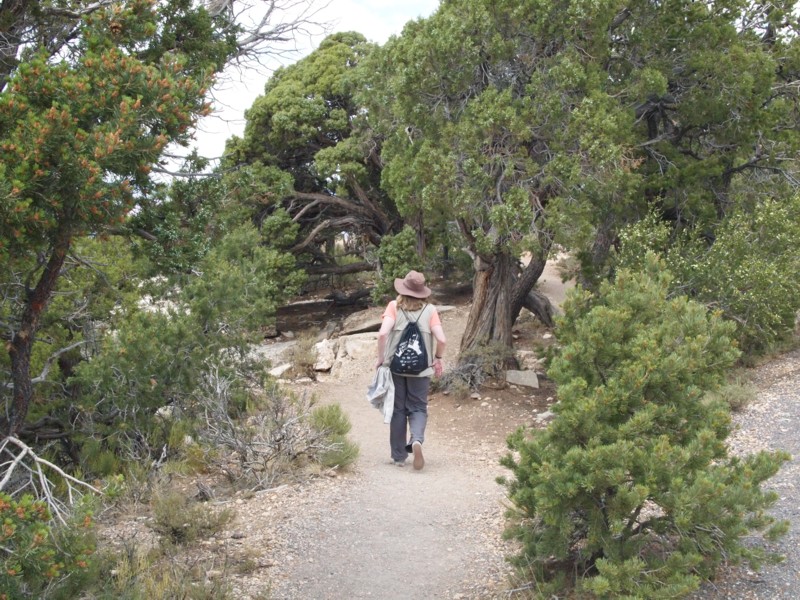
Becky hiking along the trail.
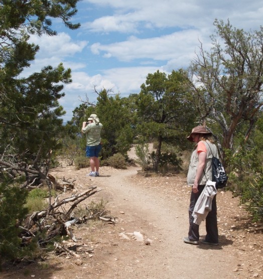
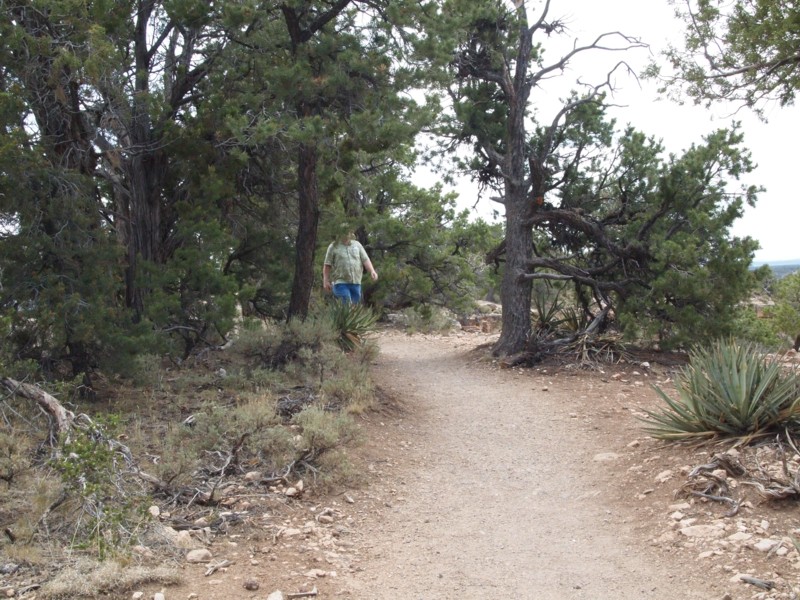
Becky and I caught up with Louis.
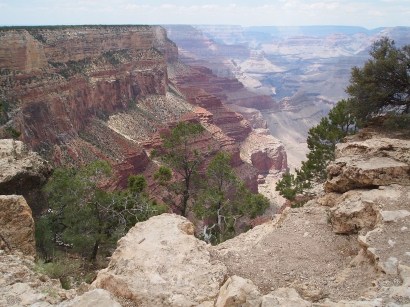
Another way to frame the view.

Looking east.
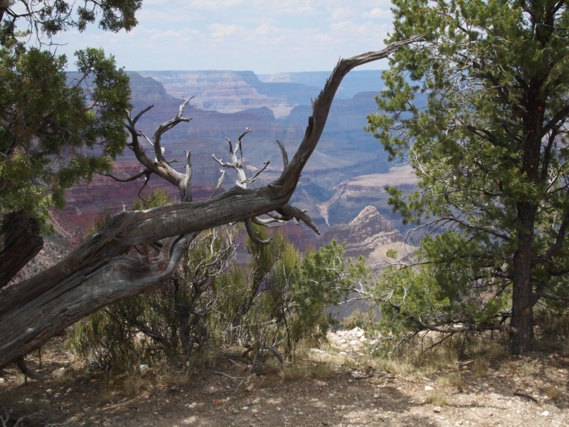
Although the dead tree is the main feature of this photo, the ridge, river, and domed cone all appear in the background.
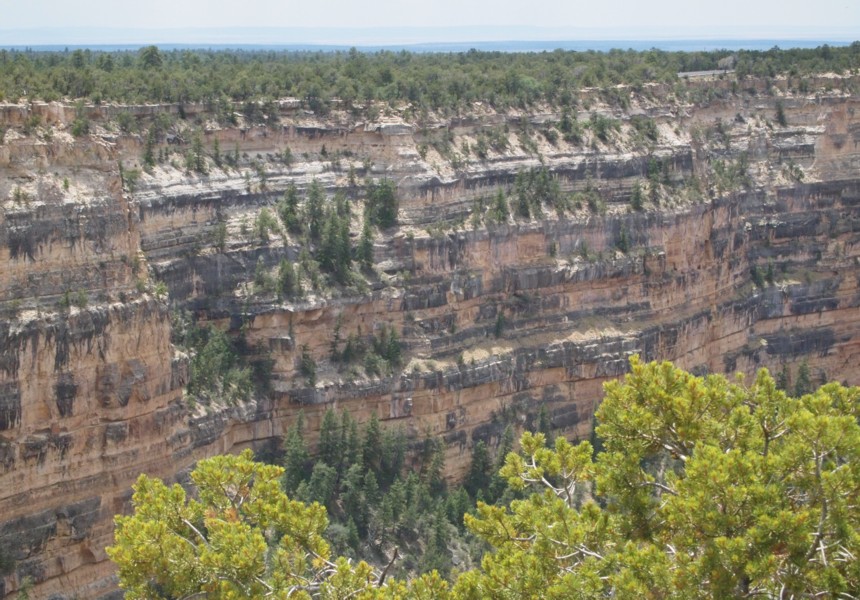
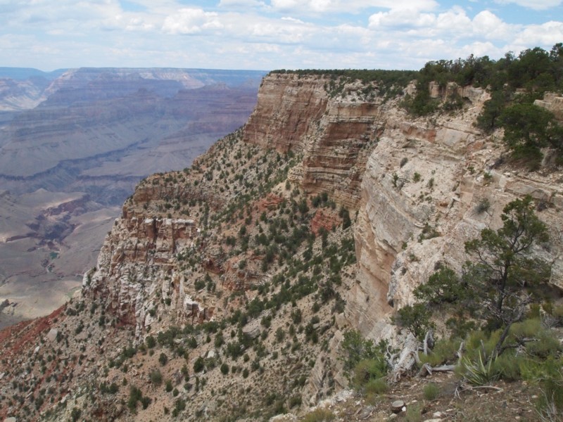
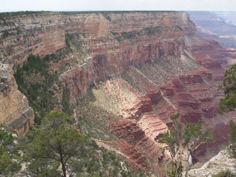
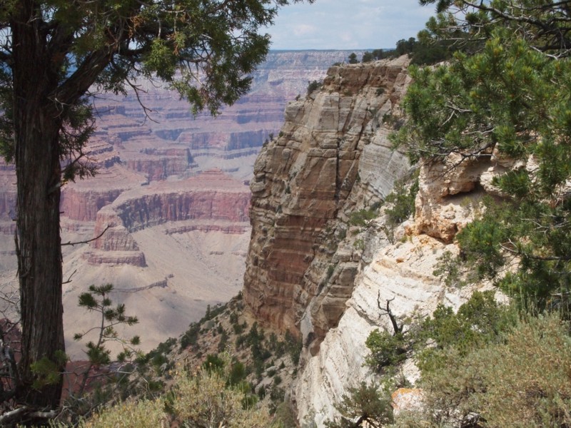
This is a very big expanse of vertical canyon wall. The road is visible on the upper right, and the trail is visible in the trees along the rim.
Becky and I pause for a photo.
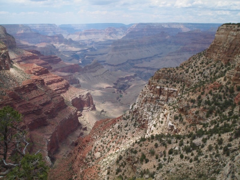
The view of the ridge, river, and domed cone from a futher perspective.
The trail was nice. Usually it was very close to the edge, but in some places it swung away from the edge.
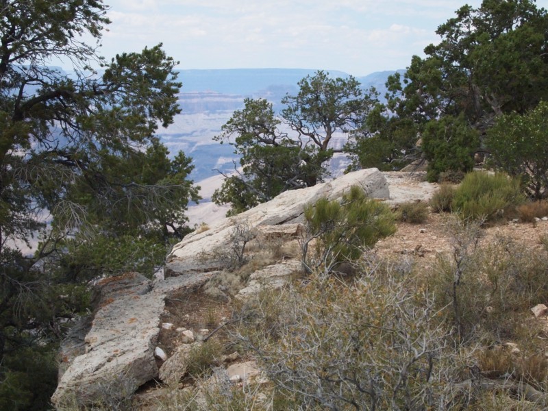
A view of the rim along this part of the trail.
Louis stopped for photos along the way, so I waited to get this photo. However, I didn't wait long enough for his face to be within view.
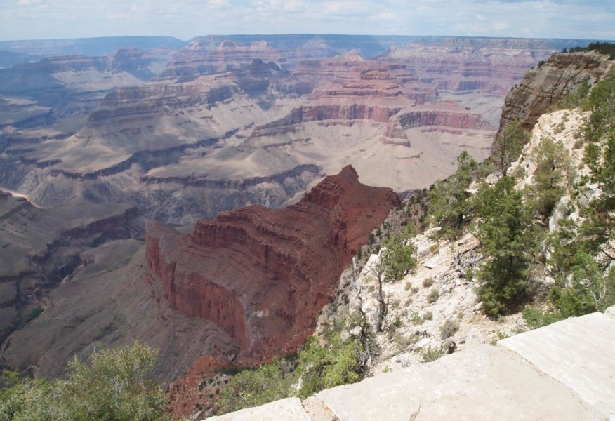
This is a prominent feature of this area of the canyon. The horseshoe is at upper left and the crescent mesa is at upper right.

This is a closer view of the red formation.
Mohave Point in the distance and the crescent mesa below.

The shuttle stop is within view.
This is my final shot of the ridge and the river - 1:44 p.m. But Becky took this similar picture with her more powerful telephoto lens.

We still had to catch the shuttle and get back to the junction, walk to the lodge to get our packs, and then walk to the train station in time to board the train by 3:15. We had time to spare. We got to listen to a park interpreter tell stories of travel from the early days through the coming of the train. She presented her talk in the form of three from which we were to choose the one that wasn't true. All were almost unbeliveable, but the false turned out to be true because the hero of the story actually claimed that it had happened. He also claimed for himself the title of biggest lier at the Grand Canyon.