Along the Road to Colorado
 |
 |
|---|
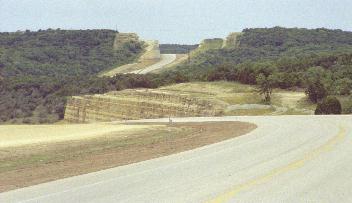
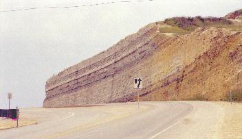
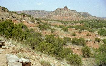
| The higway cuts through a ridge in west Texas leaving these geological layers exposed. This would be somewhere southeast of Big Spring. I don't remember which route we took on that trip. |

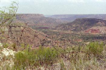
| After a short stay with relatives in Big Spring, we went north up the Texas panhandle to reach IS 40. It was the first time I had seen the vast flatness of the panhandle so I stopped to take this photo. When I got back into the car, it wouldn't start (the starter wouldn't turn). Remember that it was 16 years old and was close to 150,000 miles. I used a screw driver to 'short' across the starter relay terminals and started the car. That was possible in the old days, but no longer. We had no further problems with the relay. |
 |
 |
|---|
|
|
 |
 |
|---|
|
|
 |
 |
|---|
|
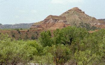
A road winds in a spiral around the outside of the cone. A short hike from the parking lot leads up and over the top of the cone and down into the inside. Our stop was brief and I took few photos. We took more photos on another trip years later. |
 |
 |
|---|
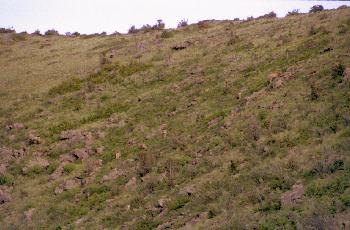
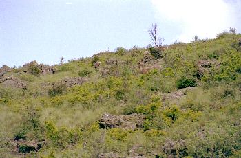
| It was getting dark, but I took the photo on the left. Then we noticed the deer. The closest deer is near the center of the photo on the right just below the dead bush. There seem to be a couple of 'white tails' - one to the left of the closest deer and another on the right beyond the base of the bush. The closest deer is facing toward the left, but its head is turned back toward the right. |
| PREVIOUS PAGE |
|---|
| NEXT PAGE |
|---|
